
Struga is compact and easy to explore, and a good map makes it even easier. Use our interactive map, pick up a printed map in town, or follow one of the walking itineraries below to discover the river, the lake and the old town at your own pace.
🗺 Interactive map of Struga
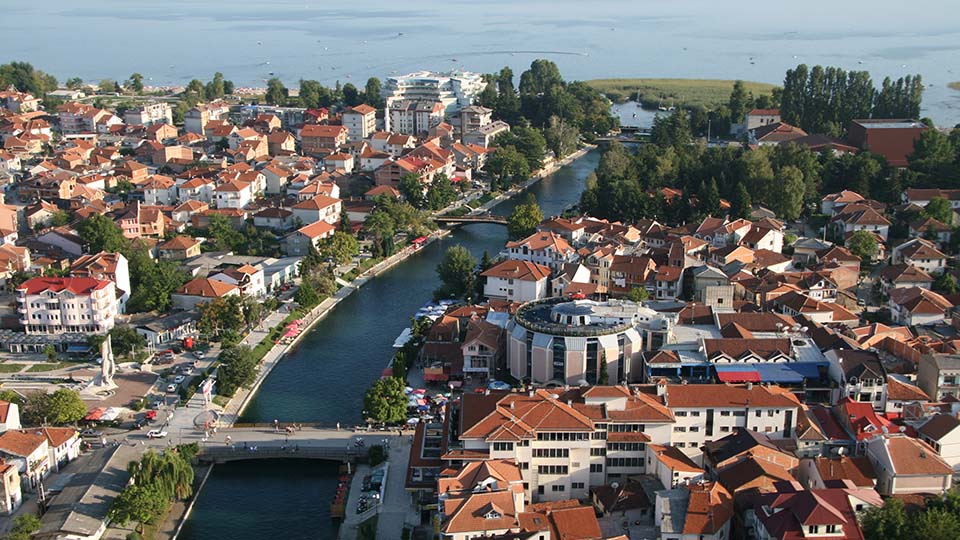
Our interactive map shows attractions, accommodation, restaurants, cafés and services in Struga and the surrounding area. Open it on your phone to find what is nearby, get directions and plan your day.
Every place listed on Visit Struga also has its own page with address, contact details and location, so you can go from map to details in one tap.
📍 City Maps
- Free printed maps are available at the Tourist Information Centre and at most hotels.
- Maps highlight the Black Drim promenade, the Lake Ohrid shoreline, cultural sites and transport hubs.
- Pocket-sized versions are often handed out during the summer festivals.
📱 Digital & Interactive Guides
- Google Maps and OpenStreetMap provide reliable navigation in Struga and the surrounding area.
- Offline maps: download the Struga and Ohrid area before you travel; useful if you have no mobile data (roaming in North Macedonia can be expensive).
- Outdoor apps such as Komoot are useful for hiking and cycling routes; check that trails are open before you go.
🚶 Walking Itineraries
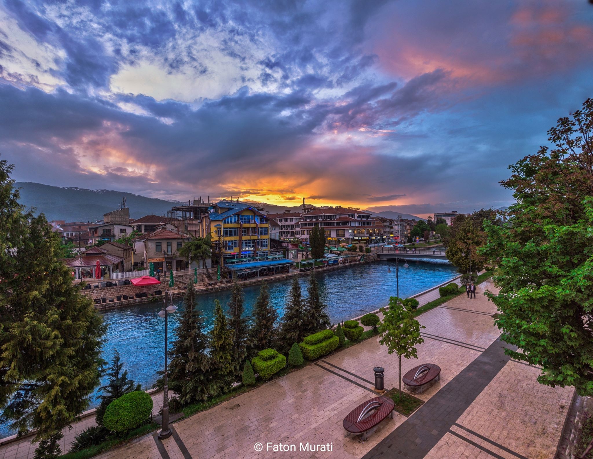
- Promenade walk: along the Black Drim, connecting cafés, shops and cultural landmarks. See City Walk.
- Cultural circuit: the Bridge of Poetry, churches, mosques and museums in the town centre. See Historical places, Sanctuaries and Museums & galleries.
- Lakefront route: from Struga’s beaches towards Kališta, with its lakeside monastery and cave churches. See The villages.
- By bike: riverside, shoreline and village routes on our Rent a bike page.
ℹ️ Tourist Information Centre
- Located in the town centre.
- Staff provide maps, brochures and help in several languages (Macedonian, Albanian, English).
- Seasonal opening hours: longer in summer, shorter in winter.
🧭 Guided Tours
- Local agencies offer walking tours, cycling excursions, boat trips and day trips to Ohrid, Vevčani, the mountain villages and across the border to Albania.
- Guides often speak several languages and add the stories behind the places you see.
- Ask at your hotel or the information centre for current tours and prices.
⭐ Why Use Maps & Guides?
- Orientation: easy navigation through Struga’s compact, lively streets.
- Discovery: find hidden gems such as riverside cafés and village monasteries.
- Convenience: save time and don’t miss the key sights.
- Confidence: explore further, from the lake to the mountains.